
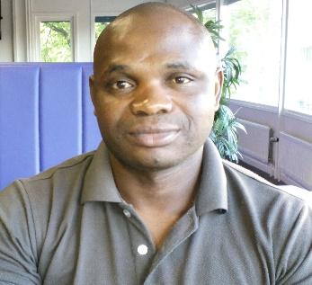
Dr Prestige Tatenda Makanga

Title: PALs Principal Investigator
Email details: makangap@staff.msu.ac.zw
Dr. Prestige Tatenda Makanga is the Leader of the Place Alert Labs (PALs) initiative at Midlands State University and co-ordinates the health geography work of PRECISE. He is an applied geo-information scientist with a primary interest in global health. At MSU Tatenda also teaches geographical information systems (GIS) and spatial epidemiology. He holds a PhD in Geography (GISc) from Simon Fraser University in Canada, and he was also a co-investigator of the Mapping Outcomes for Mothers (MOM) project, which utilizes geographic methods to elucidate risk and resilience factors associated with maternal outcomes. Tatenda is a former chairman for the Spatial Data Infrastructure initiative that was led by the Survey Institute of Zimbabwe. He is also an active member of the USAID’s steering committee on mapping and reporting maternal deaths, where he is contributing to new policy directions concerning the use of geographical information systems in mapping maternal health trends to better target interventions.
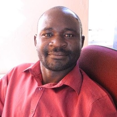
Mr. Newton Nyapwere
Designation: GIS Analyst
Email Details: nyapweren@staff.msu.ac.zw.
Newton Nyapwere has cross cutting experience through GIS in health, agriculture and environment. He has a Master of Science in Geoinformatics from Faculty ITC, University of Twente and Bachelor of Science Hons in Soil Science from University of Zimbabwe. He is also currently pursuing a Masters in Information Systems Management at the Midlands State University. Newton has strong research interest health geography, landscape epidemiology, and designing and developing geoinformation systems for storage, retrieval and visualisation.
Mr. Liberty Makacha
Title: Research Administrator
Liberty Makacha is a Research Administrator at Midlands State University (Gweru) Place Alert Labs, Department of Surveying and Geomatics. A PhD candidate with a special interest in exploring the correlates between socio-environmental risk factors including ambient and indoor air pollution and the seasonal nature of adverse maternal outcomes in sub-Saharan Africa using a mixed methods approach, Liberty also holds a Master of Science in Biostatistics and Epidemiology, a BSc (Honours) in Surveying and Geomatics both from the Midlands State University (Zimbabwe) as well as an Intermediate Bachelor of Accounting Science (BCompt -Intermediate) from the University of South Africa (UNISA).
Prior to joining the Midlands State University, Place Alert Labs, Liberty also worked as a Research Assistant, Faculty of Mining and Mineral Processing Engineering, Midlands State University Zvishavane Campus on a paleomagnetic continental reconstruction project using remote sensing and GIS for exploratory discovery of un-mapped mineral deposits.
On the surface, Liberty Makacha is an upcoming researcher in Health Geography spanning the disciplines of global health and the spatial sciences, especially the use of GIS in understanding health phenomena.
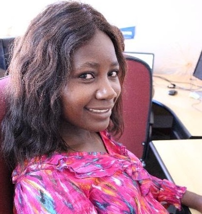
Miss Yolisa Prudence Dube

Yolisa is a research assistant, based in Gweru, Zimbabwe. She has been a part of the Mapping Outcomes for Mothers (MOM) project for 8 months. She holds a BSc (Honours) degree in Surveying and Geomatics (Midlands State University) and is currently doing her MSc in Biostatistics and Epidemiology studies (Midlands State University).
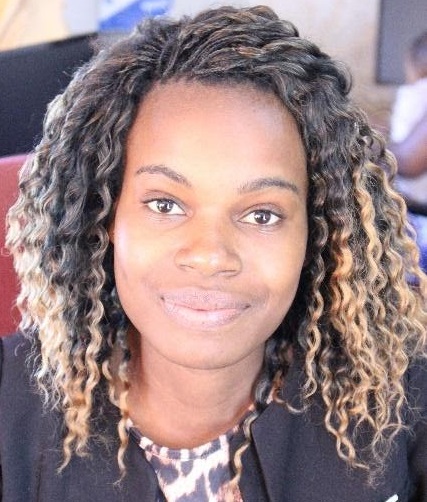
Tendai Nkomo
Title: GIS Database Administrator
Email details: nkomot@staff.msu.ac.zw
Tendai Nkomo is a GIS Database Administrator at Midlands State University- Place Alert Labs with interests in spatial databases and application of geospatial technology in public health. She holds a BSc (Hons) degree in Surveying and Geomatics from Midlands State University in Zimbabwe.
Vimbai Nyaera
Title: GIS Student-on-attachment
Email details: vimbainyaera@gmail.com
Vimbai Nyaera is a currently a student on attachment at (Midlands State University) under the Department of Surveying and Geomatics /Place Alert Labs (PALS). She is a student at (University of Zimbabwe) doing BSc (Honours) degree in Geography Information Science and Earth Observation.